Share

Walking, Hiking & Trail Running

8 of the Best Walks In Southern Scotland

You don't need to head up to the Highlands to go for a nice hike in Scotland. Here's our handy guide to the finest walking routes in Southern Scotland

When you think walking and Scotland most hikers immediately dream of the Highlands and Islands. Further south, though, a swathe of world-class adventures await, alive with sweeping scenery and thrilling wildlife. As a travel writer I’ve yomped all across the twin regions of Dumfries and Galloway, and the Scottish Borders, on a variety of two-booted ventures. Locally they say ‘Scotland Starts Here’, and you should too. From easy rambles around rugged castle trails through to epic long distance walks that take a fortnight to tackle, there’s a range of spirit-soaring hiking adventures to be found here. Without further ado then, here’s the best walks in Southern Scotland.

Southern Scotland’s Big One

The Southern Upland Way is one of Scotland’s best walks. Photo: Robin McKelvie

Start: Portpatrick

Finish: Cocksburnpath

Distance: 214 miles

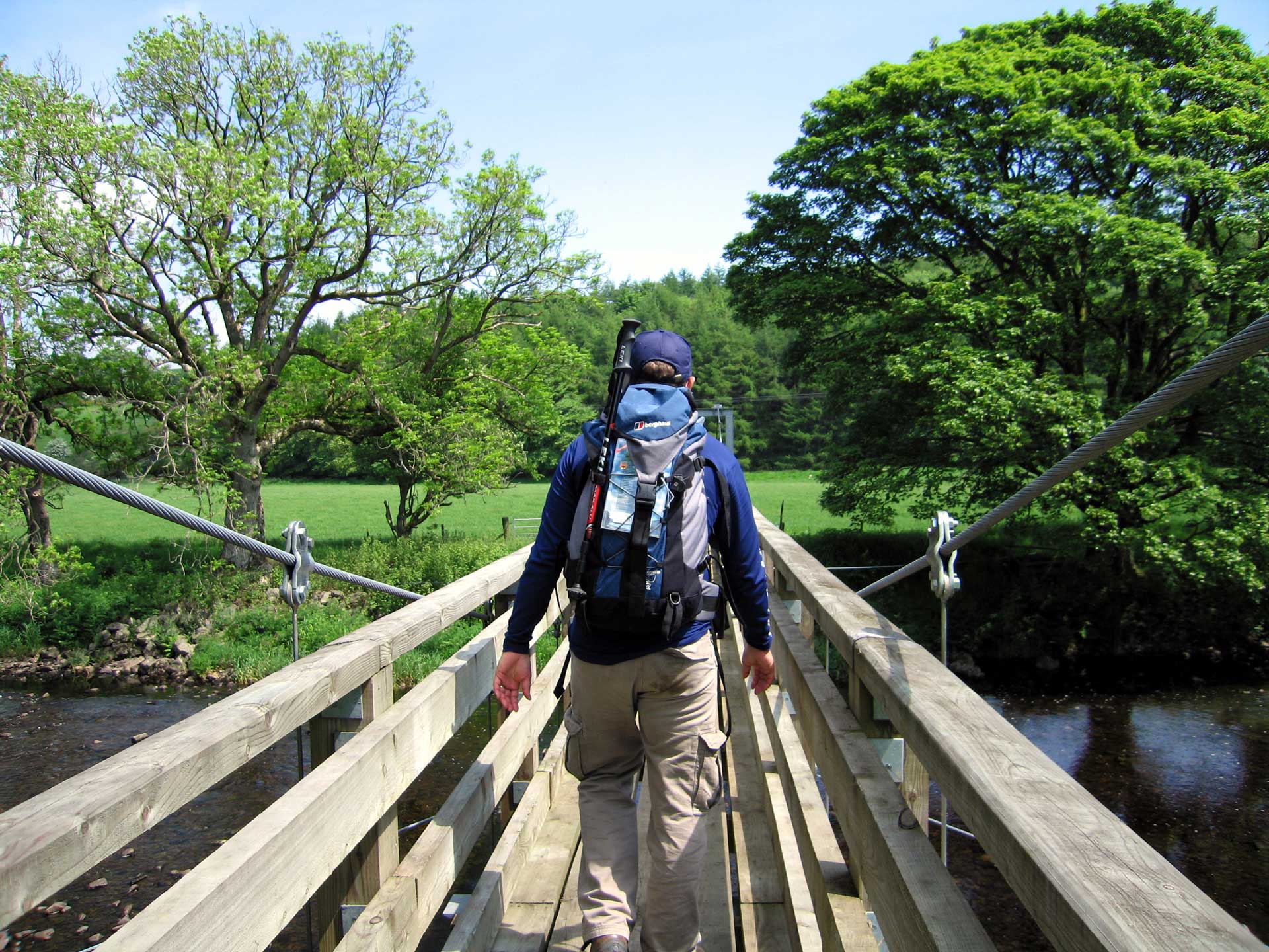
The Southern Upland Way is a whopper, soaring all the way from the edge of Ireland in the west at Portpatrick, right across to the North Sea and Cocksburnpath 214 miles away. You really need a fortnight to take it on – you can arrange to have your luggage carried to your next accommodation through the walk website, which really helps.

I cannot recommend strongly enough that you walk it west to east to go with the prevailing winds. Though, of course, you can easily cut the Southern Upland Way up into bite sized chunks easily if that’s your preferred way of doing things. I’ve covered the whole walk on separate trips, with the longest stretch I’ve managed in one go being Portpatrick across to Sanquhar (just under 100 miles away). The first part of this for me was the most spectacular, so I recommend that if you want a day trip option. You climb up and away from the harbour to hug the cliffs with just the seabirds for company. Then you reach picture postcard Killantringan Lighthouse, before cutting inland in search of Castle Kennedy, with its lovely castle overlooking a loch.

Website: dgtrails.org

Scotland’s Big One

Banks of the Tweed near Peebles. Photo: Robin McKelvie

Start: Kirk Yetholm

Finish: Cape Wrath

Distance: 539 miles

The Scottish National Trail is an epic undertaking. The savage length – over 500 miles – may be off-putting, but it’s the only trail that runs all the way up the Scottish mainland from south to north. It’s the brainchild of outdoors writer and broadcaster Cameron McNeish, and gets tougher and tougher as you forge north – turning pathless and shelter-less along the way.

All that being said, the section through the Borders is comparatively gentle. It kicks off pretty much where England’s Pennine Way finishes, then joins the St Cuthbert’s Way on the approach to Melrose, before doing a similar dovetail with sections of the Southern Upland Way as it pushes north to Traquair, site of Scotland’s oldest continually inhabited country house. The Trail then traces the River Tweed to the picturesque market town of Peebles before easing over the Meldon Hills in search of Edinburgh. If you want to just bite off a small piece, I suggest the scenic eight miles from Traquair to Peebles.

Website: scottishnationaltrail.org.uk

Head For The Forests

There’s some great walking to be done in Galloway Forest Park. Photo: Robin McKelvie

Start/Finish: Various

Distances: Various

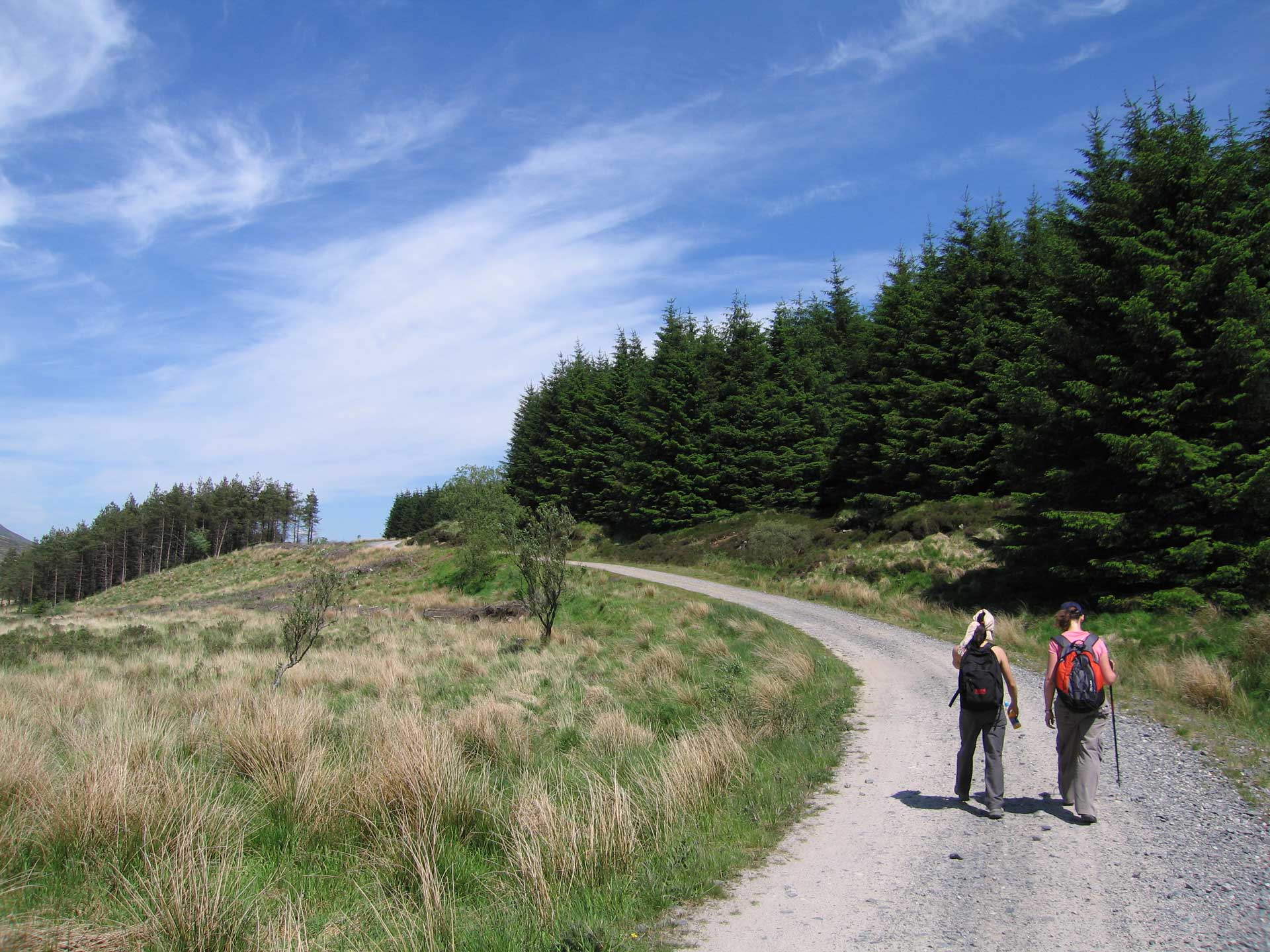
I’m cheating slightly here, but I think you’ll forgive me when you read about the great walking in the Galloway Forest Park. Cheating, as this is not one single walk, but so many good hikes spread across the UK’s largest forest park that it’s difficult to settle on just one. The UK’s first Dark Skies Park, be sure to linger on if you can afterwards for a grandstand view of the stars.

This oasis boasts over 300 square miles of remarkable natural beauty and the joy of it is there are walks for everyone. A swathe of the Southern Upland Way cuts through, then there are easy lochside strolls to check out the historic (Robert the) Bruce’s Stones Clatteringshaws located way. Alternatively, ascend to the other Bruce’s Stone for a sweeping view of Loch Trool. If you appreciate waterfalls then enjoy the Grey Mare’s Tail waterfall, at 60m it’s one of the UK’s highest. If you fancy a hill walk challenge heft up 843m-high Merrick, the highest summit in the Southern Uplands.

Website: FORESTRYANDLAND.GOV.UK

Follow The Water

Ailsa Craig island in the Firth of Clyde. Photo: Getty Images

Start: Mull of Galloway

Finish: Glenapp

Distance: 37 miles

The Mull of Galloway Trail is an adventure, little known even in Scotland, that opened in 2012. The actual Trail runs from the Mull of Galloway in the extreme south – where you gaze out towards Ireland and the Isle of Man – to Stranraer, and then links up to the north with the Loch Ryan Coastal Path on to Glenapp 37 miles away. You could extend your trip even further north on the Ayrshire Coastal Path. Enjoy sweeping views of the Solway Firth en route and then, towards the end, unforgettable views to the volcanic rock of Ailsa Craig (an isle adrift in the Firth of Clyde halfway between Glasgow and Belfast). If you love water all around this is the hike for you. Look out too for seals, deer and red squirrels.

Website: mullofgallowaytrail.co.uk

Four Glorious Abbeys

Dryburgh Abbey. Photo: Robin McKelvie

Start/Finish: Circular

Distance: 68 miles.

I’m a massive fan of the circular Borders Abbeys Way, which sweeps you around a quartet of dramatically ruined abbeys that are all a millennia old. I recommend starting at Melrose with a railhead nearby at Tweedbank and loads of facilities. From Melrose Abbey – where Robert the Bruce’s heart is buried – you head south and then east to meet up again with the Tweed at Dryburgh Abbey, a gloriously romantic ruin by the tree-shrouded banks. Sir Walter Scott is buried here. Then it’s off east again on a long stretch tracing the river towards Kelso, where its own abbey awaits with the impressive facade and cloisters. It’s time to cut south now in search of the most complete of the lot, vaulting Jedburgh Abbey. It’s a long sweep back up to Melrose, but worth it as you re-join Bruce and congratulate yourself on completing the Borders Abbeys Way.

Website: scotborders.gov.uk

Cross Border Adventure

Hiking signs around Melrose. Photo: Robin McKelvie

Start: Melrose Abbey

Finish: Lindisfarne

Distance: 62.5 miles

It may not sound like it, but the long distance St Cuthbert’s Way is far more than ‘just’ a pilgrimage route. Yes it does follow the story of the eponymous saint, from Melrose, where his religious life began in 650AD, and forges on to the Holy Island of Lindisfarne off the Northumberland Coast, his resting place and his original pilgrimage shrine, but there is far more for the non-devout to enjoy.

Both the start and finish are architectural joys and, what’s more, you flirt with the Romans en route. This is a cross-border route between Scotland and England that is a cultural and historic artery. You’ll need about four to six days to cover it. I recommend taking your time and using the baggage service on the website to ease your own pilgrimage, whatever its goal.

Website: stcuthbertsway.info

Hike the Hills with the Romans

The Eildon Hills. Photo: Robin McKelvie

Start/Finish: Melrose

Distance: 6 miles

This is perhaps pound for Scottish pound the highest half day hill walk in southern Scotland. Walking in The Eildons is not technical or up to Munro height, but with just over 500m of ascent it’s still a decent heart pumper. You can see for miles and miles from the Eildons, across the Borders Badlands once so viciously fought over between the two countries for centuries and so beloved of writer Sir Walter Scott.

You get to follow St Cuthbert’s Way for the first section up to the saddle, then veer off right to climb Eildon Mid Hill, the ground getting rockier as you go. I recommend you drop back to the saddle to tackle Eildon Wester Hill, the lowest of the three, before returning to that same saddle to climb up Eildon North Hill. This was the site of a massive Roman hill fort. Below trace out the lines of largest Roman fort in Scotland, Trimontium (the Three Hills).

When you’re back in Melrose check out the Trimontium Museum, an insight into Roman history in the area that re-opened in 2022 after a £1.4 million revamp.

Website: walkhighlands.co.uk

Hike To A Fairytale Castle

Neidpath Castle in Scotland. Photo: Robin McKelvie

Start/Finish: Peebles

Distance: 4 miles

As good a half day family-friendly walk as you’ll find in Scotland. And as Scottish a walk as you’ll find, eking off from a historic market town up the mighty River Tweed in search of a rugged castle, surrounded by swathes of forest and bountiful wildlife. You strike out by the town’s rugby pitches and track the river through ancient oak woodlands. The modern world eases further and further away until there it is on the bluff high above you – 14th-century Neidpath Castle. You then sweep under a grand old railway arch, before joining the old railway and crossing a lovely old stone bridge, returning to Peebles on south bank of the Tweed. Here cosy pubs, welcoming restaurants and a sunset riverside stroll await.

Website: walkhighlands.co.uk

**********

Further Information on Southern Scotland – www.scotlandstartshere.com

You May Also Like

Best Hikes In France | Top 10

Walking Books | 5 of the Best

Best Long-Distance Walks In Snowdonia

Newsletter Terms & Conditions

Please enter your email so we can keep you updated with news, features and the latest offers. If you are not interested you can unsubscribe at any time. We will never sell your data and you'll only get messages from us and our partners whose products and services we think you'll enjoy.

Read our full Privacy Policy as well as Terms & Conditions.

production