Share

Travel

Here’s Why Everything You Think You Know About The Map Of The World Is Wrong

The map you've been using to plan your next adventure with has been lying to you.

Screenshot: YouTube (via Vox).

Look at a map of the world. Now look at yourself in the mirror. Back at the map, then back at the mirror. Pinch your skin, gently slap your cheek; make sure that you’re confident in your own existence and that this isn’t all an illusion, and then look back at that map of the world.

NEWSFLASH. Everything is a lie, and everything you thought you knew about the world is wrong. Maps are lying to you, bro. They’re lying to you, me, your mum, your dad, your grandad, your grandma; they’re lying to literally everyone you know and love. Seriously, fuck maps.

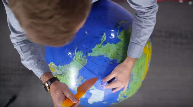
Like all internet-based rages, our current map-inspired anger started with a video. At first, we were like: “Ah, this looks like a pretty interesting vid. Let’s watch it.” And then, within a minute of watching said vid, we were like: “Woah. Hold up. What’s all this about then?” And then we were like: “No. This can’t be right surely? Surely not?!” Confusion eventually gave way to anger, and that’s how we ended up in this sorry mess. Searching frantically and furiously for solutions, with none forthcoming.

If you haven’t got time to watch the video, the video that’s only six minutes long, let’s break it down a bit. Don’t worry. We’ll stay calm. We’ll. Stay. Calm. *eyebrow twitches erratically*

Turns out it’s impossible to accurately portray a 3D globe in 2D. Impossible. Completely impossible. *flips table, walks out of the office, pushes a dustbin over, kicks a car, remembers breathing exercises, listens to Enya, calms down*

The map you’re probably most familiar with, the one that’s on Google Maps, is known as the Mercator Projection. The Mercator Projection is what would happen if you wrapped a globe in a paper cylinder and projected every single point on the globe outwards onto the cylinder’s surface. Unfold that cylinder and voila, you’ve got yourself a Mercator map.

Screenshot: YouTube (via Vox).

Now, the Mercator Projection is a popular way of doing maps for good reasons. It retains the shape of the countries it’s trying to portray, which is definitely a tick in the positives column, and it means that a 90 degree turn on the map would be a 90 degree turn in real life (and vice-versa).

However, the reason that it’s not so great is that the size of the countries and land masses shown are massively distorted. As the video points out, on a Mercator map the land mass of Greenland and Africa is shown to be almost identical. In reality though, the continent is 14 times bigger than Greenland. This is because the Mercator inevitably makes land further from the equator appear bigger.

OK, then. So why don’t people use different maps? Well that, right there, is the heart of the problem. People do. There’s loads, and loads, and loads of different maps out there but all of them come with their own unique set of strengths and weakness. The video concludes by stating: “There’s no right answer.”

Arrrrrrrgh. How can there be no right answer?! Answer: maths and science, apparently.

Screenshot: YouTube (via Vox).

You May Also Like:

The 10 Weirdest Maps In History

20 of the Best Travel Memes On The Internet

Newsletter Terms & Conditions

Please enter your email so we can keep you updated with news, features and the latest offers. If you are not interested you can unsubscribe at any time. We will never sell your data and you'll only get messages from us and our partners whose products and services we think you'll enjoy.

Read our full Privacy Policy as well as Terms & Conditions.

production